Drone power line inspection…
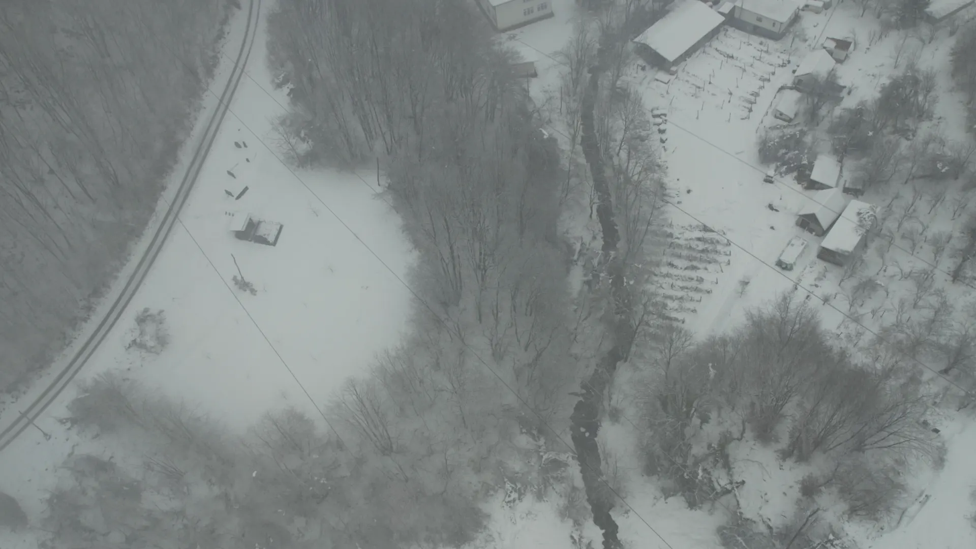
A drone power line inspection near Krupanj during heavy snowfall showed how technology can speed up grid repairs. Several villages had been without power for days. Snow,…

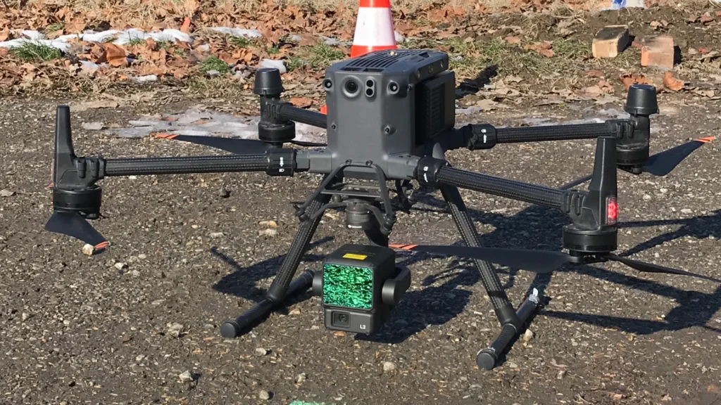
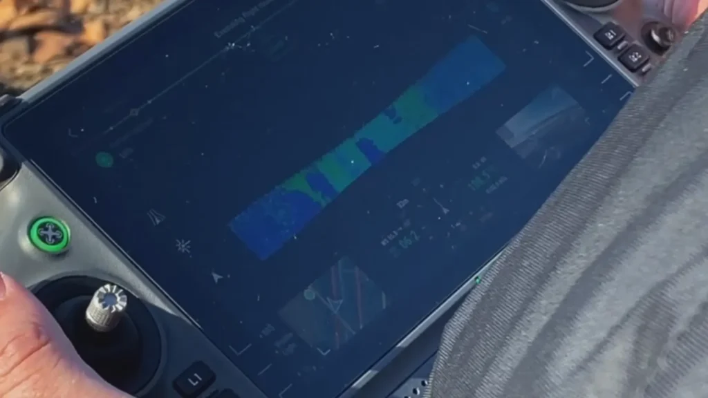
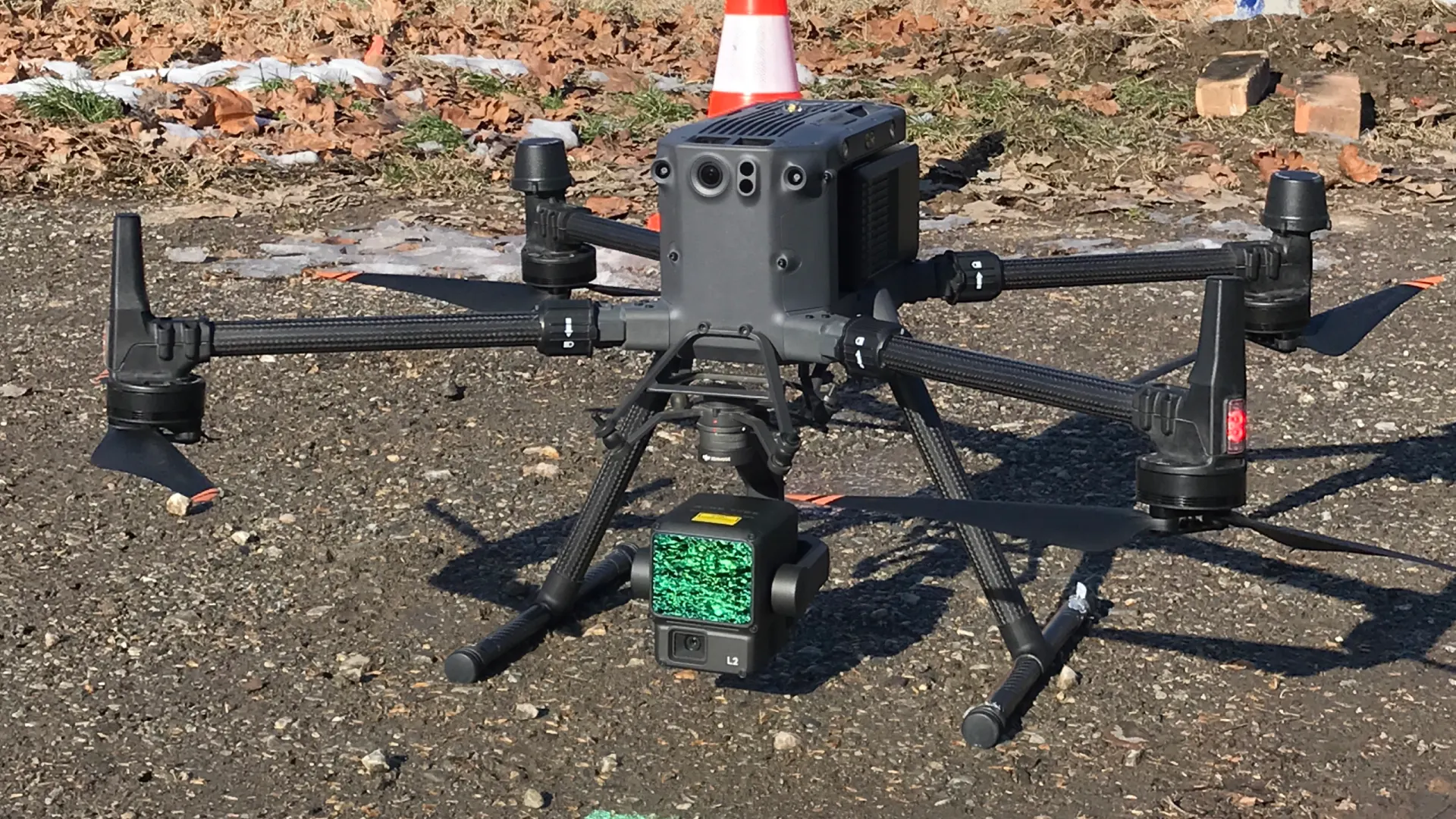
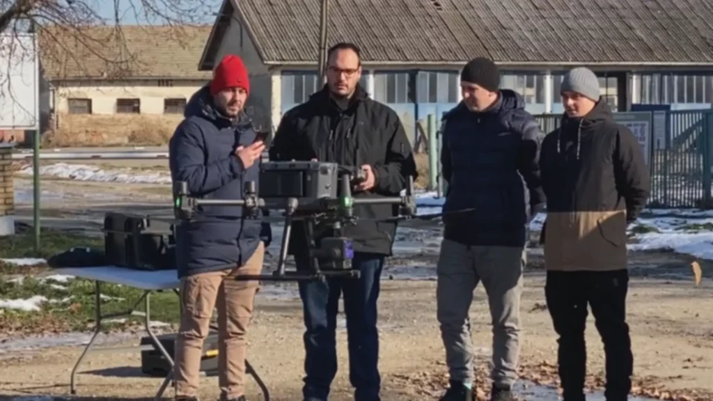
The Dunavac drone mapping was carried out as part of a specialised course for surveying firms. The team surveyed the terrain and the old hangars at Podnevlje Dunavca, which are planned for redevelopment. The project used the professional DJI Matrice 350 RTK platform, which delivers highly accurate and reliable data.
The goal was a detailed terrain model and an analysis of the buildings. The data also had to be ready for further urban planning and infrastructure work.
Podnevlje Dunavca is home to old hangars due for reconstruction and repurposing. The drone mapping made it possible to produce:
Data like this is the basis for planning the works and for the technical documentation.
The job was flown with the DJI Matrice 350 RTK. This professional drone has RTK positioning and centimetre accuracy. The system provides:
Compared with older manual systems, the mapping process is much faster and more efficient.
After the field work, the data was processed in specialised photogrammetry and surveying software. The Dunavac drone mapping produced:
The process shows how modern drone technology speeds up the preparation of reconstruction projects.
Lomingo drone pilots carried out the Dunavac drone mapping as part of an advanced course. They demonstrated professional systems in real conditions. With the largest network of drone pilots in the Balkans, Lomingo can take on complex surveying and infrastructure projects across the country.
Projects like this confirm that drone mapping is becoming the standard in planning urban and industrial reconstruction.
The Dunavac drone mapping shows how vital RTK accuracy is for reconstruction and urban planning projects. The quality of the data directly affects the quality of the construction work.


Become a member of the Lomingo Drone Community and join the largest community of drone pilots in the Balkans.
Five days in Belgrade, taught in English. Learn to clean facades and solar panels with professional drone systems.
A step further towards professional flying. Discover new techniques, refine your skills and explore the sky with the confidence you gain on the Lomingo advanced course.
A drone power line inspection near Krupanj during heavy snowfall showed how technology can speed up grid repairs. Several villages had been without power for days. Snow,…
The Dunavac drone mapping was carried out as part of a specialised course for surveying firms. The team surveyed the terrain and the old hangars at Podnevlje…
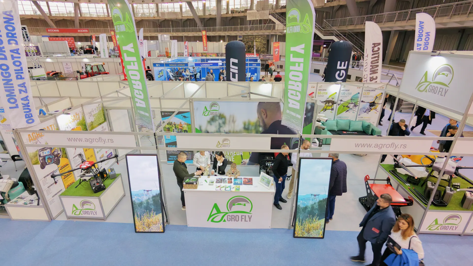
The AgroBelgrade 2026 agriculture fair brought together leading companies from farming and new technology in Belgrade. Lomingo International and the company AgroFly were part of the event.…