- +381 63 8280 270
- lomingointernational@gmail.com

Drone Mapping Course
Specialist course
The step after the advanced course
The drone mapping course is a specialist course for pilots who have completed the advanced course and want to go deeper into mapping. You learn the whole process, from planning the flight to a finished orthophoto map, 3D model and terrain analysis.
Apply and arrange the details- Before this course
- Advanced drone pilot course
- Who it is for
- Pilots, surveyors and engineers who want to go deeper into mapping
- Price
- €600
- Length and format
- In person or online, agreed with your instructor
- Licence
- EASA A1/A3, A2 and STS exams with us, for an additional fee
The drone mapping course is for pilots who want to turn a flight into a finished product. A drone on its own does not bring in work. The work comes from what you make of the images: an orthophoto map, a 3D model or an accurate terrain calculation that the client can use straight away.
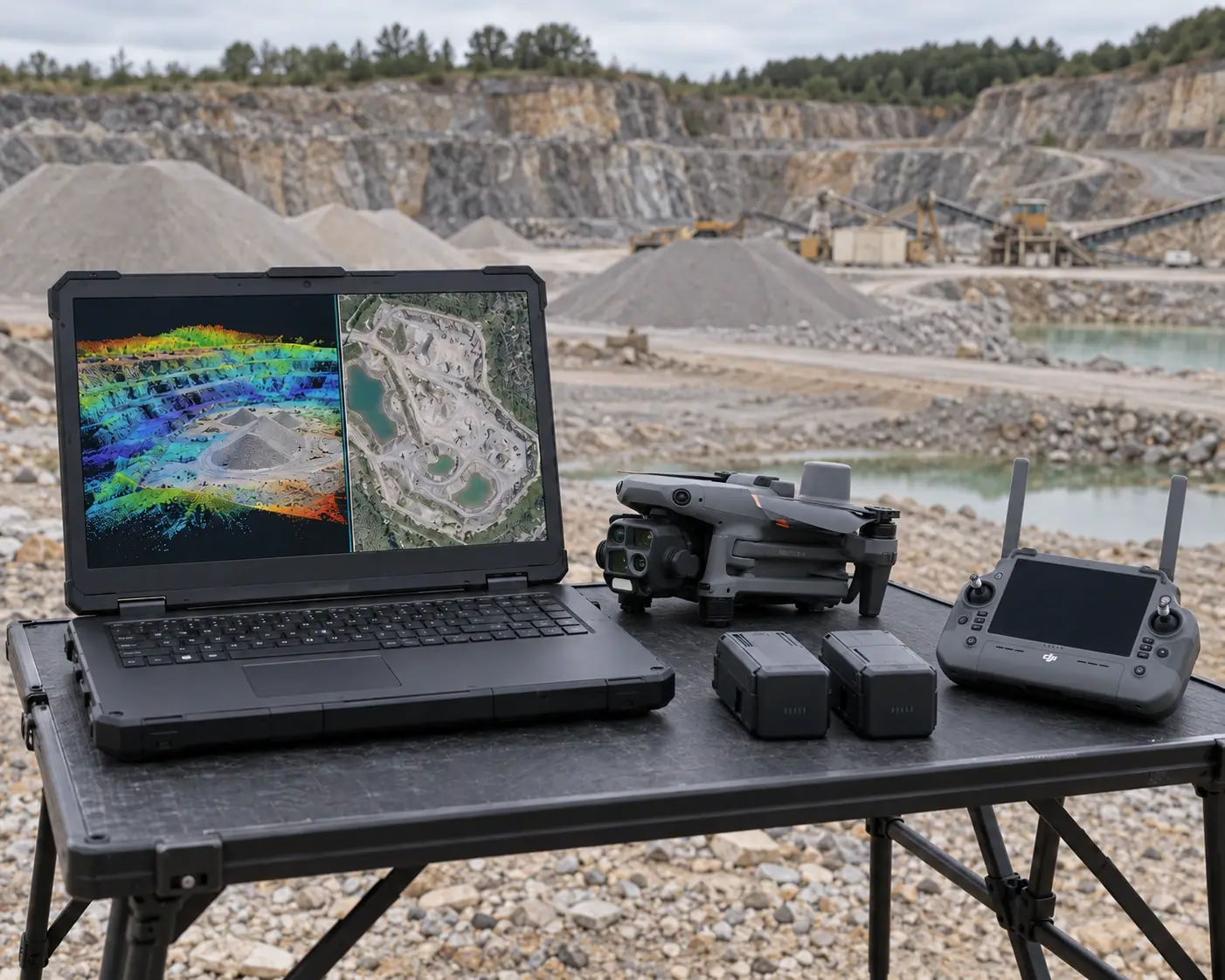
That is why this course takes you through the whole process: how to plan a mapping flight, how to process the images in photogrammetry software and how they become orthophoto maps, 3D models and precise terrain analyses. These results are in demand in surveying, construction, infrastructure and agriculture, and that is where a drone pays for itself fastest.
If you have finished the advanced course and want to specialise, this is your next step. With mapping you do not just sell a flight, you deliver a finished result, and a finished result is worth more.
Need the EASA certificate as well? You can take the A1/A3, A2 and STS exams with us for an additional fee.
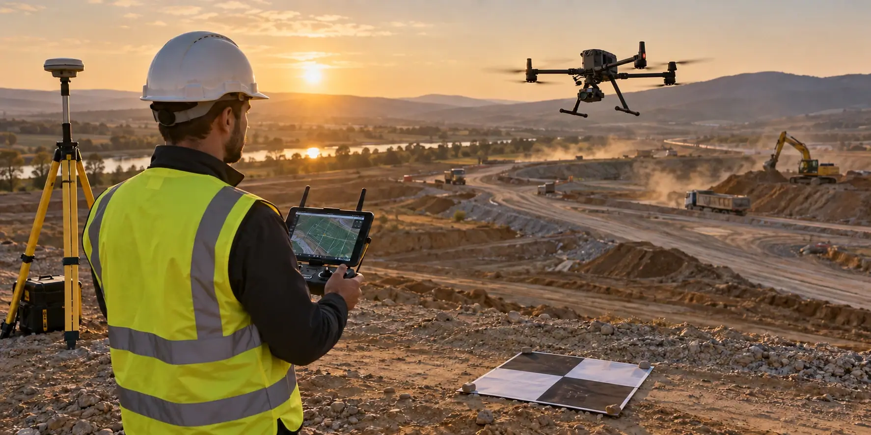
Drone mapping skills are in growing demand, especially in surveying, construction and engineering. The days when you could finish school and do the same job until retirement are gone. Technology is developing fast, and the job market with it. Today there are professions that did not exist a few years ago. That is exactly why continuous learning is essential.
If you want a secure and well-paid future, specialised skills such as drone mapping are a logical investment. Drone technology allows precise measurements, efficient terrain work and time savings in daily operations. This is especially true in surveying and infrastructure projects.
Employers increasingly look for candidates who can apply modern technology in practice. Formal education alone is no longer enough. Concrete skills that can be used straight away matter just as much. Courses in drone mapping give you exactly that: skills you learn quickly and that the market needs.
The drone mapping course was designed to give you comprehensive knowledge of unmanned aircraft for surveying and engineering. You learn how to prepare the aircraft and control it during the mission. You then process the data in the software that creates precise maps.
You may be a surveying technician, a land surveyor or a surveying engineer. Bringing drones into your work is the natural next step. European countries already use drones widely in this field, and interest in Serbia and the region is growing fast. Faster, simpler and equally precise terrain measurement: all of this is possible with the drone mapping course.
Trainees learn about different types of drones, additional sensors and RTK modules. They also complete practical tasks in the field. The course includes work in advanced software for photogrammetry, 3D reconstruction and orthophoto map generation.
The drone mapping course is not just education. It is an investment in your future. You gain knowledge you can apply immediately, and concrete business opportunities open up. More and more companies hire drone specialists for measurements, assessments, urban planning and similar work.
As part of the Lomingo Drone Community you get support from the instructors and access to projects. You can take part in real projects soon after the course.
During the course you receive:
1. Digital course notes and materials.
2. Ongoing support after the course with any questions about using your drone and developing your skills.
3. A certificate of completion issued by the course organiser, Lomingo International d.o.o.
4. Use of our drones during training.
5. Recommendations to partner companies for trainees who show real commitment.
Length and format:
You agree the length, the dates and whether you work in person or online with your instructor. For a group of trainees or a company we can also run the course in your city.
FAQs
Drone mapping course: questions
The drone mapping course is a specialist course that follows the advanced course. It is for pilots, surveying technicians, land surveyors and engineers who already fly and want to go deeper into mapping. No licence yet? You can take the EASA A1/A3, A2 and STS exams with us for an additional fee.
The theory covers types of drones, sensors and the regulations. The practical part covers mission planning, drone control and the use of photogrammetry and mapping software. You gain concrete knowledge that applies directly to real mapping and surveying projects.
After the course you can work on land measurement, digital terrain models and site analysis for construction or infrastructure projects. The drone mapping course opens the door to work in the public and private sector, including independent fieldwork.
Your goal should be to keep learning and stay up to date with new technology.
Lomingo Drone Community
Join the largest drone pilot community in the Balkans!
The largest drone pilot community in the Balkans!
The Lomingo Drone Community teaches you how to make money as a drone pilot. That is exactly what happens when you follow our systems, advice and experience.
You learn all the different ways to put a drone to work and earn from it. Your fellow pilots support you along the way. Drone pilot training is only the first step.
- Ways to earn money with a drone
- Lessons and training for specific jobs
- Daily briefing videos
- Everything about drones and software
- Podcasts with drone pilots from around the world
- Access to instructors for any question you have
- A community of drone pilots where you can talk and share experiences, wins and challenges with your peers
- Everything you need, and more, to earn money as a drone pilot
As a member of the Lomingo Drone Community you have no more excuses. Fly your drone, earn money with it, or shoot perfect footage for your own needs.