
First drone facade cleaning…
Lomingo International has launched the first drone facade cleaning course in the Balkans. The company developed a specialised programme for the professional use of drones in cleaning…
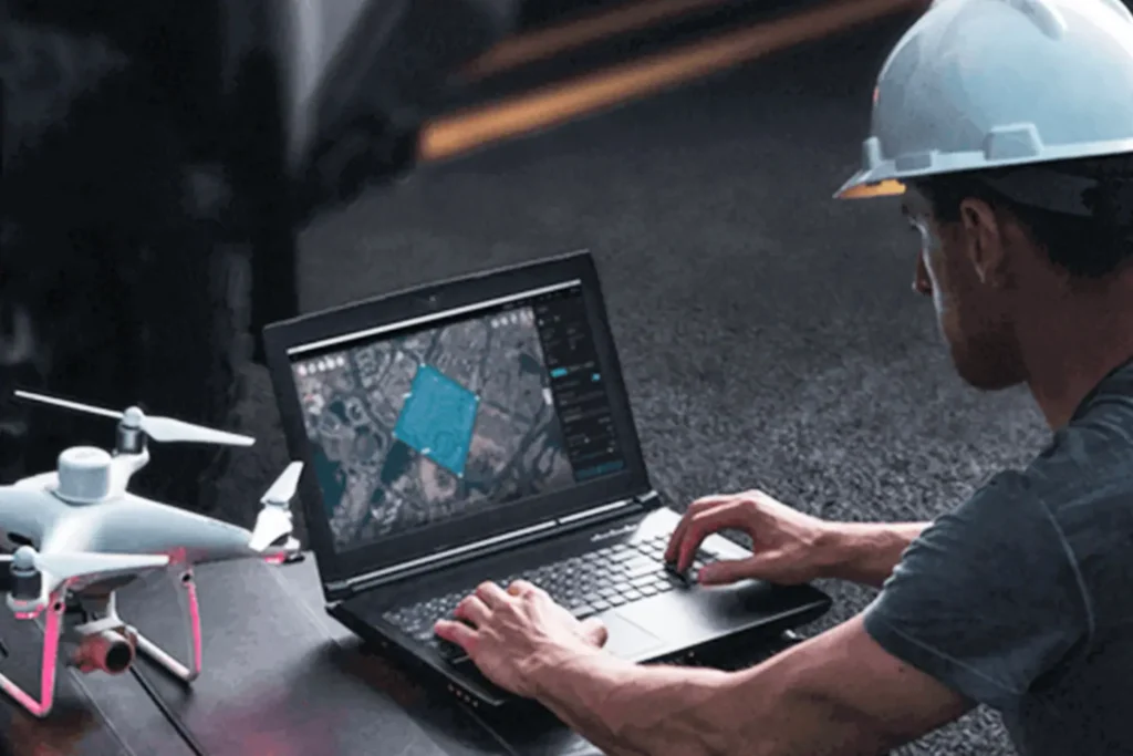
Drone 3D mapping is now an essential part of modern surveying, construction and urban planning projects. It delivers detailed mapping, precise measurements and a three-dimensional view of the terrain. The technology is used in surveying, urban planning, agriculture and infrastructure projects. It provides digital models and interactive views that improve the accuracy of analysis and speed up decision making. Lomingo International has the largest network of licensed drone pilots in the Balkans. We offer professional drone 3D mapping to the highest standards of precision and quality.
Our specialists fly the latest generation of drones with high-resolution cameras, RTK positioning and LiDAR sensors. This produces highly reliable data and realistic 3D models of terrain and structures. Our drone 3D mapping guarantees faster delivery, lower costs and results that meet all relevant technical and industry standards. That applies to urban planning, agricultural analysis and large construction projects alike.
Drone services are now part of everyday business. Lomingo International provides professional aerial work across a wide range of industries.

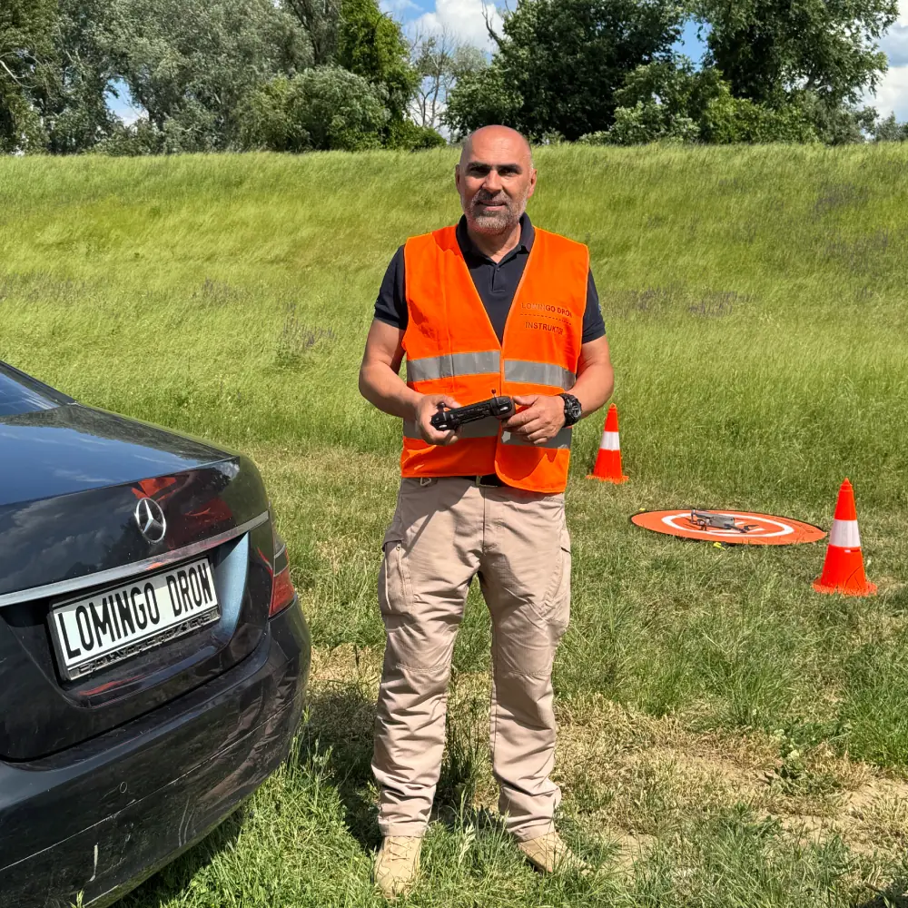
Lomingo International is a leading organisation in drone training and professional drone services. The team brings together specialists from many fields: aerial photogrammetry, agriculture and construction. It also covers photo and video production, FPV flying, drone surveillance and security missions. Drone 3D mapping is one of our core services.
Over years of dedicated work and constant training we have built a strong network of skilled operators. All of them completed certified and specialised programmes at our own training centre. Our pilots are licensed and trained to the EASA framework: open category A1, A2 and A3 and the standard scenarios STS. That lets us work both at home and on the international market.














































Companies we have worked with and helped to take their business to the next level
Lomingo International leads the field in drone 3D mapping. Our expert team combines modern technology with years of experience. The result is precise digital models and 3D views of the terrain that raise the quality of every project. That applies to surveying and urban planning as much as to agriculture and infrastructure.
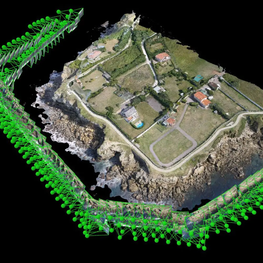
Unmanned aircraft with high-resolution cameras and RTK positioning collect precise data from the field. From those images we build 3D models that show the terrain and structures in high detail. That makes planning and design much easier.
The technology is used most in surveying, urban planning and construction. It is increasingly common in agriculture and energy too. It allows accurate assessment of terrain, infrastructure planning and the monitoring of critical structures.
In many cases 3D maps made by drone match or exceed the precision of traditional methods. They also save time and resources. Large areas are processed in a shorter time, so projects are completed faster.
The most frequent clients are construction companies, urban planning institutes, surveying firms and infrastructure investors. Lomingo International provides these services at a professional level.
3D terrain models give a visually clear picture of the area and any potential obstacles, which supports better decisions. Projects are planned more precisely, risks are reduced and costs are optimised. If you need drone 3D mapping, contact us.
The price depends on the size of the job. Every site and every task is different. We quote based on the size of the area, the location and the deliverables you need. The assessment and the quote are free. Call us and describe what you need. You get a clear quote the same day.
How it works
1. You call us and describe the job.
2. We assess it free of charge and send a quote.
3. We come to the site and complete the work.
4. You receive the maps, models and a report in the agreed format.
Want to fly the drone yourself and earn from jobs like these? See the advanced drone pilot course and the drone mapping course. All prices are on the course prices page.
Call us and get a quote the same day
Phone +381 63 8280 270 (we speak English)
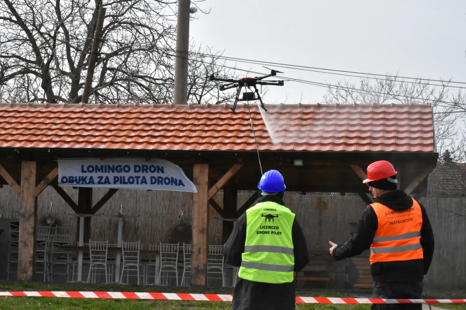
Lomingo International has launched the first drone facade cleaning course in the Balkans. The company developed a specialised programme for the professional use of drones in cleaning…
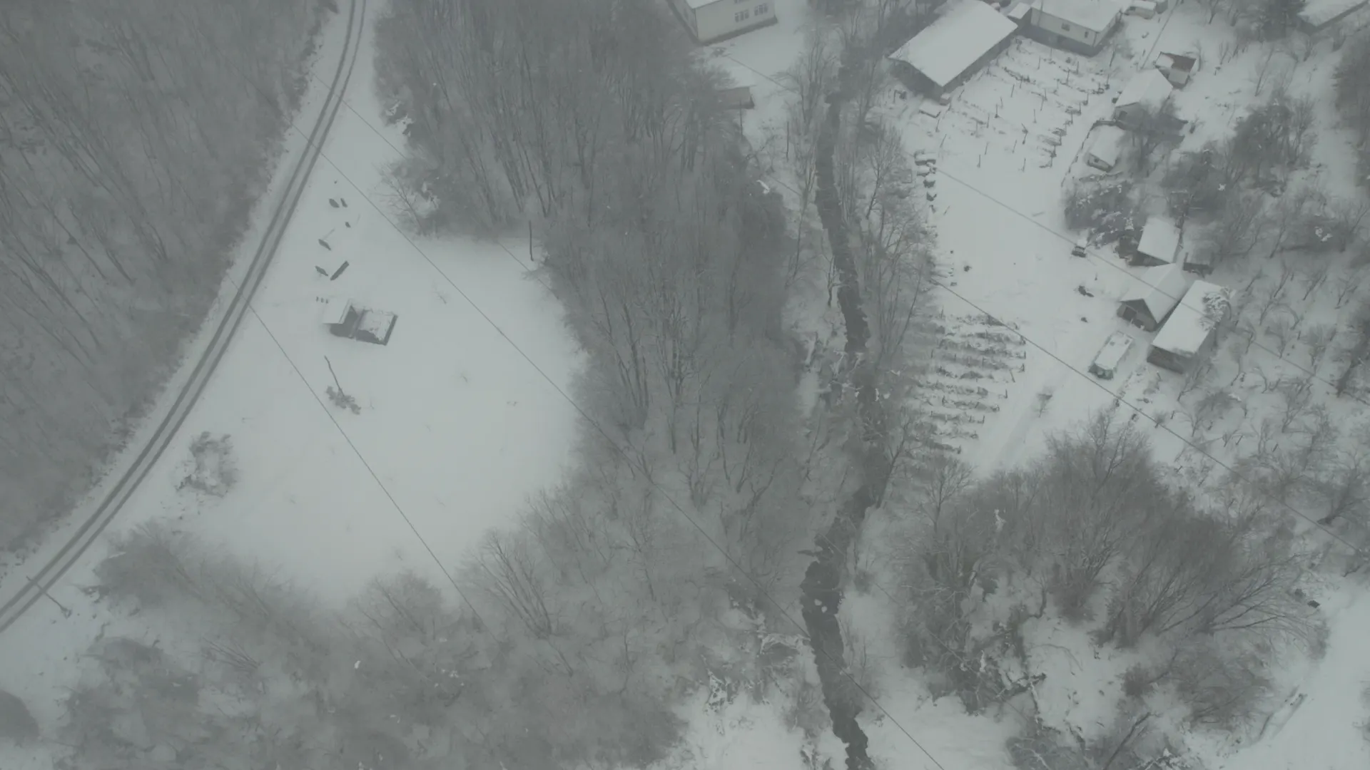
A drone power line inspection near Krupanj during heavy snowfall showed how technology can speed up grid repairs. Several villages had been without power for days. Snow,…
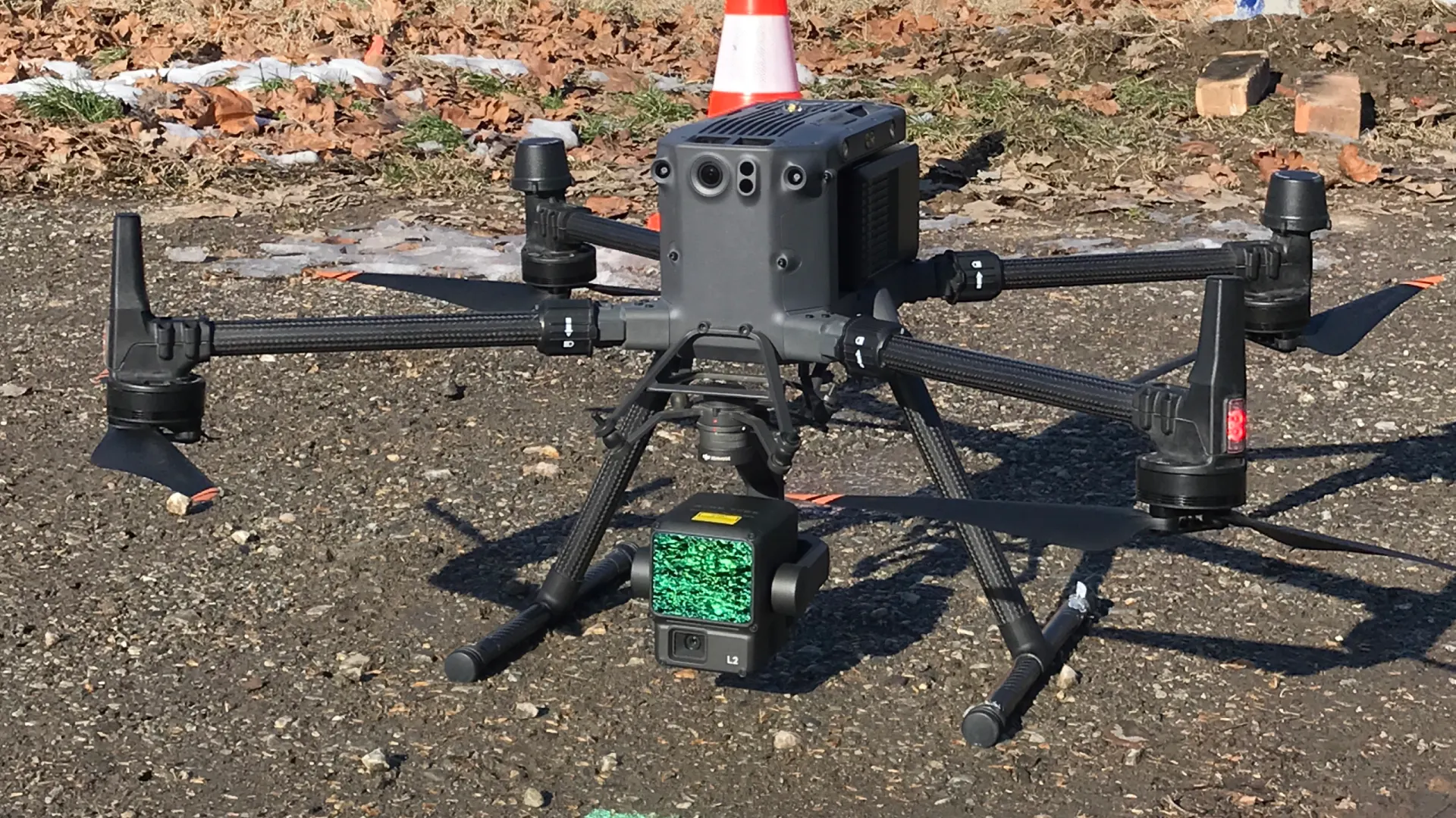
The Dunavac drone mapping was carried out as part of a specialised course for surveying firms. The team surveyed the terrain and the old hangars at Podnevlje…