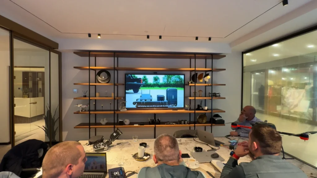
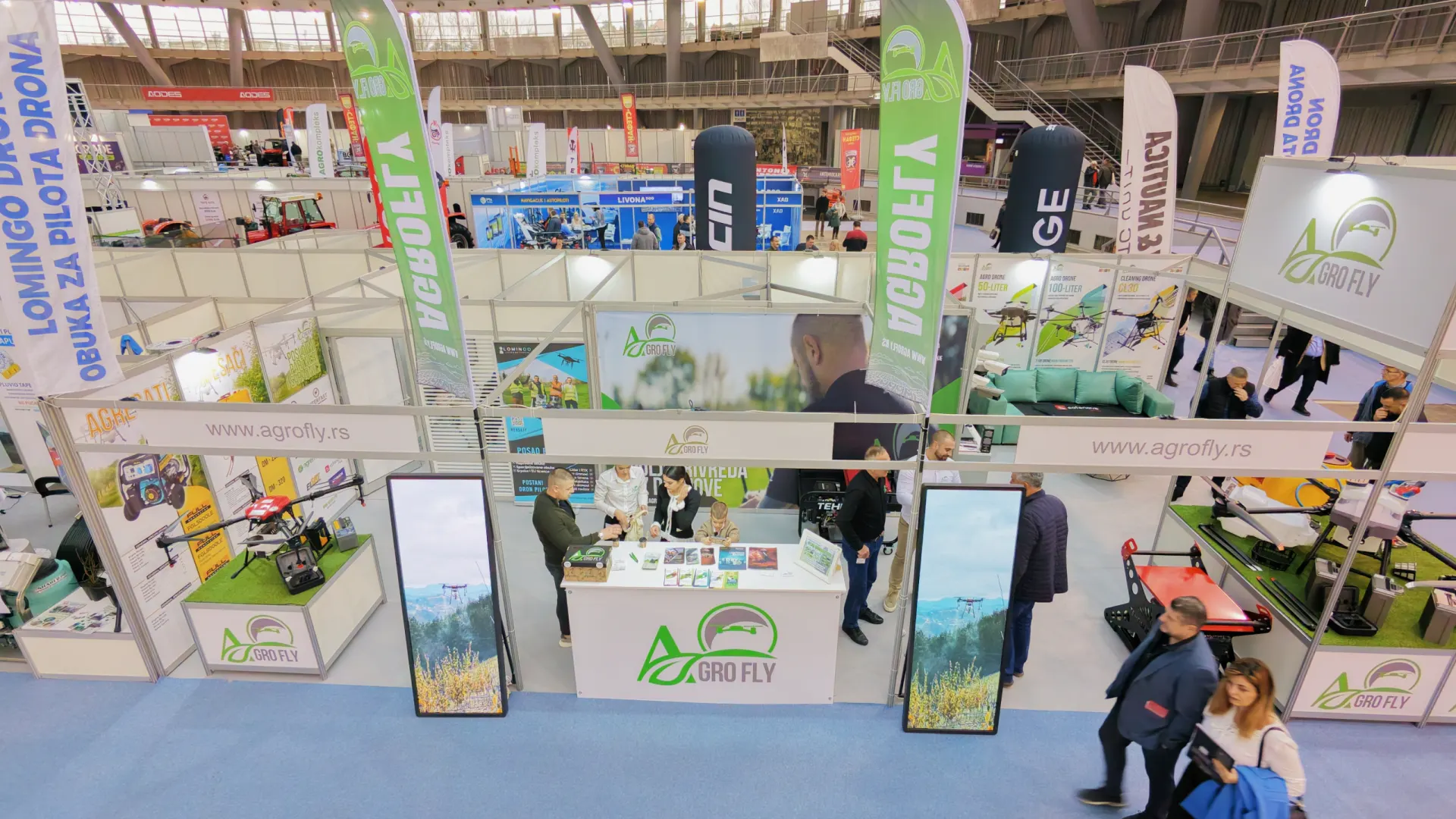
Lomingo International delivered an intensive seven-day drone training programme for surveyors at Jadran d.o.o. It covered basic drone handling, the regulations and advanced terrain mapping. The training took place at the offices of AgroFly, a company that sells agricultural drones.
The students first completed the basic module: drone handling, safety procedures and aviation rules. The focus then moved to their professional Geo drone. It is an older, manually operated system that was technically advanced, and extremely expensive, in its day.
Getting the Geo drone back to work
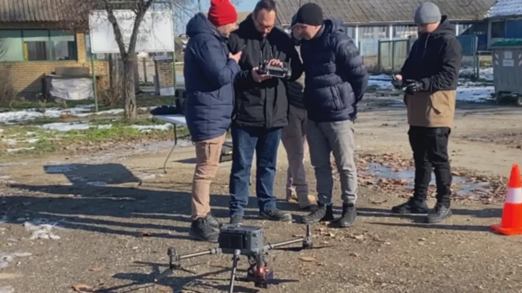
One part of the course dealt with their Geo drone. The team brought it back into service and stabilised it. It needed precise adjustments to work at full capacity. Through practical work the students mastered:
- Planning mapping missions.
- Manual control of a professional drone.
- System calibration.
- Organising work in the field.
This part of the course gave them a full understanding of how older professional platforms work.
Mapping Dunavac: old and new technology compared
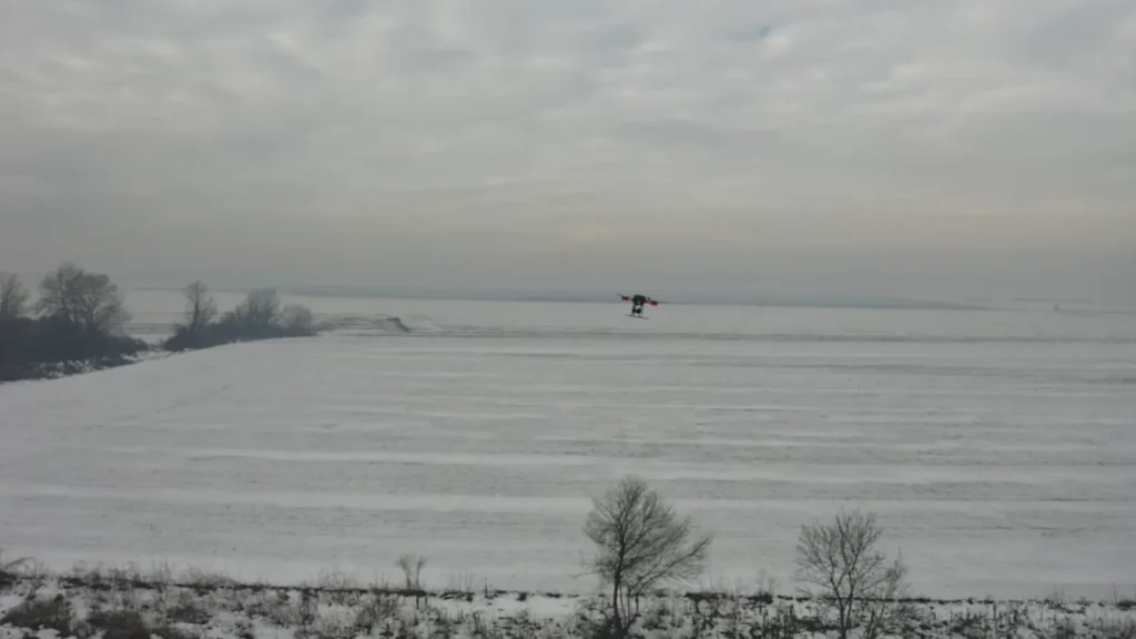
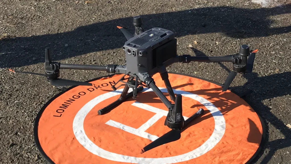
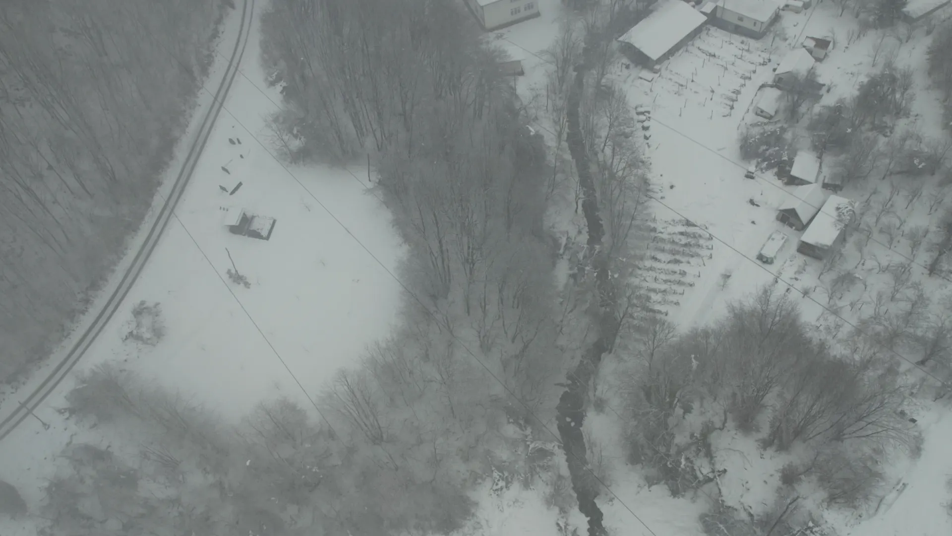
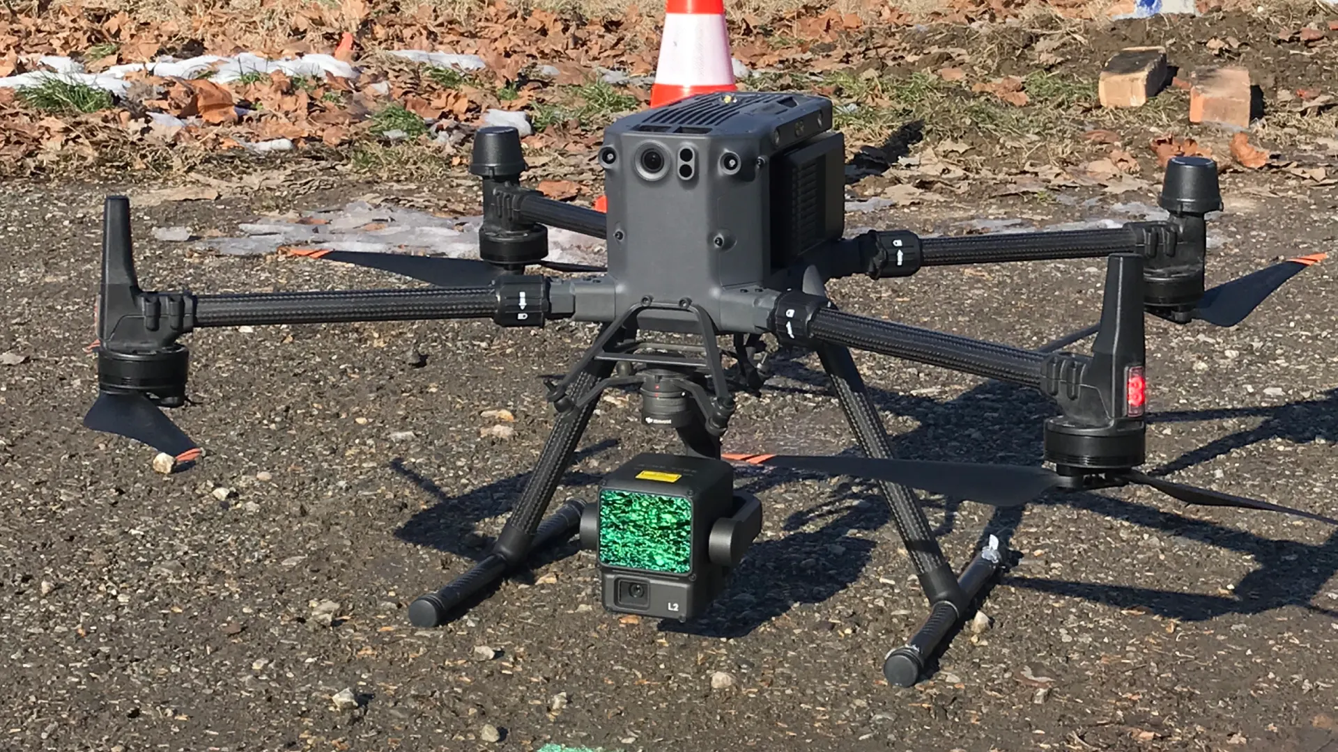
The final part included real mapping of Podnevlje Dunavca. The team used the DJI Matrice 350 RTK and the LiDAR L2 system. The students saw how modern systems provide:
- Automatic route planning.
- High-accuracy RTK positioning.
- Faster data collection.
- More efficient LiDAR processing.
This gave a direct comparison between the manual Geo drone and modern professional systems.
Data processing software
The drone training for surveyors also covered specialised software for photogrammetry and LiDAR data. The students learned how to:
- Create orthophoto maps.
- Generate 3D terrain models.
- Process point clouds.
- Analyse elevation models.
This part is essential for the professional use of drones in surveying and infrastructure projects.
Lomingo and its expert team
The programme was delivered by Lomingo drone pilots experienced in mapping and professional systems. With the largest network of drone pilots in the Balkans, Lomingo can run complex surveying and infrastructure projects across the region.
After seven days, the Jadran d.o.o. team was fully prepared to fly and process data independently at a professional level.
Lomingo tip
Drone training for surveyors should include work on older systems and a demonstration of new technology. Only then does a team gain a full understanding of mapping and data processing.